Explore by category
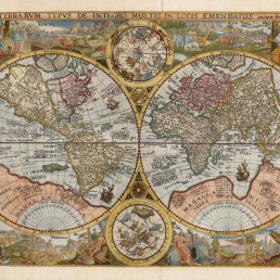
Maps and Charts
Date range: 1541-1836

Ship Models
Date range: 1629-1890

Maritime Paintings
Date range: 1793-1849

Manuscripts and Ephemera
Date range: 1768-c1850
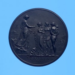
Medallions & Convict Tokens
Date range: 1619-1880


Indigenous History
Date range: c1800-1959

Landscapes
Date range: 1768-c1850
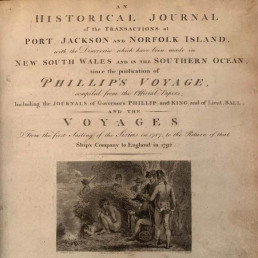
Books
Date range: 1694-c1850

Currency and Shares
Date range: 1624-1823

Printed Material
Date range: 1541-1836
Maritime Archaeology
Date range: 1629-1854


Curator's corner
New acquisitions, staff favourites and curios
The mug is decorated with an underglaze and a blue transfer print. On the body, it is titled ‘Emigrants to Australia’. This type of body and glaze was discontinued by 1840. Comparison of the handle shape and the profile of the foot, point to the attribution of manufacture by the Davenport Factory.

Delta was a ship-rigged vessel with two decks and three masts. It was built in Dordrecht, Netherlands in 1839 at the shipyard of Jan Schouten and registered in the same port. Its hull was constructed of oak and sheathed in ‘yellow metal’. Delta was owned by H. van der Sande at the time of its loss and was engaged as a cargo trader.
The Delta carried 29 crew and passengers, while sailing from Melbourne to Batavia in ballast when wrecked at Kenn Reefs on 30 May 1854 whilst under the command of Captain J.G. Kunst. This vessel loss supports the pattern of shipwrecks located on a well-travelled shipping route that was poorly charted until the mid-nineteenth century. The crew of the Delta could see four other shipwrecks at Kenn Reefs at the time of their vessel’s loss.

Important image of a ship associated with Matthew Flinders, that would shortly become one of the most famous early shipwrecks in eastern Australian waters. This is a fine ship’s portrait, by one of the great exponents of the art