
Project · Lake Mulwala, Murray River
Rivers Heritage Project
Then the waters covered everything and the forest was gone. In 2018, a drained lake on the Murray River revealed drowned forests and forgotten wrecks, and we had days to record them.
Aerial view of the Halburds punt wreck on the temporarily dry bed of Lake Mulwala · Image: Paul Hundley/Silentworld Foundation
Fieldwork
July 2018 pilot study
Location
Lake Mulwala, Yarrawonga Weir
Wider project
NSW Rivers Project, since 2010
Sites recorded
600+ across 28 rivers, lakes and inlets
Flooding the Murray River
A lake drained, a landscape revealed
In June 2018, Dr Brad Duncan wrote on his Facebook page:
“Amazing place at Lake Mulwala – they have drained the lake and all the old drowned forests and wrecks are exposed.”
Photos of a seemingly desolate, post-apocalyptic landscape accompanied his words. We were immediately intrigued, and in July 2018 we undertook a collaborative pilot study of the lake, days before it started to refill.
The lake was artificially created when the Yarrawonga Weir was built to hold water reserves for the Murray Basin irrigation scheme. This drowned landscape is repeated throughout the basin. The ‘lakes’ are periodically drained to control a weed that grows prolifically in the water system, simply by drying out each area for a number of weeks.

About
The lifeblood of the colonies
The many thousands of kilometres of navigable rivers connecting Australia’s vast coast to its interior have played many roles: colonising corridors, conduits for travel and trade, irrigation water for communities and farmers, and power for industry. The rivers were the lifeblood of the colonies and later the new nation, connecting its separate parts and becoming the focus for cultures built around understanding and using these flows.
Different rivers in different areas presented a range of challenges and saw innovative technologies and practices, some adapted from elsewhere and others originating in place. Despite being the highways to the interior, the cultural heritage of the nation’s rivers has until recently been under-explored, with the focus on the more glamorous maritime stories of the coast.
The NSW Rivers Project
Beginning in 2010, a joint research venture between Dr Brad Duncan (NSW Heritage Branch, now Heritage Division) and Prof Martin Gibbs (University of Sydney, now University of New England) established the NSW Rivers Project to investigate the riverine heritage of New South Wales. Working with collaborative partners across the state and country, the project investigates the rich history and diversity of cultural interactions in and around waterways that cross state boundaries.
The project has so far documented well over 600 new sites in 28 rivers, lakes and inlets, along with the archaeological and human signatures that characterise riverine life. Site types include shipwrecks and abandoned vessels; riverine infrastructure such as wharves, slipways and loading facilities; and the deliberate and inadvertent environmental changes associated with various trades and industries.
The project works closely with local communities to promote and recognise their riverine heritage sites, cultural landscapes and customs, all informed by rich local oral histories and traditions. It operates on many levels: improving knowledge of waterway heritage sites around the state, while also driving academic research into cultural conformity and diversity, and into change over time, space and environment within and between NSW river systems. This helps us better understand how communities lived with and used waterways around the country.


Left: aerial view of the wreck site of “Rita” on the temporarily dry bed of Lake Mulwala. Image: Paul Hundley/Silentworld Foundation. Right: maritime archaeologist Brad Duncan rigging up the sidescan sonar on the survey canoe. Image: Irini Malliaros/Silentworld Foundation
Fieldwork at Lake Mulwala
We found wrecks in a desolate place
The project was developed quickly to take advantage of the drained lake before it was re-flooded. The aims of the pilot study were to:
- locate and document cultural features, including wreck sites
- identify potential sites along the palaeo-channels of the river
The objectives to meet these aims were developed on the spot as we got a better feel for the landscape and the nature of the material. They were to:
- record any wreck sites immediately noticeable and accessible
- undertake sidescan survey of known submerged sites
- undertake aerial survey of the lake for other wreck sites and cultural features
- record the palaeo-channels of the river from the air
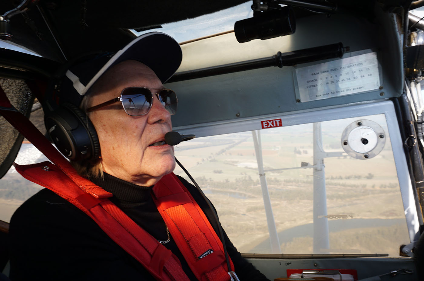
Aerial surveys were undertaken by drone. We also had a very generous offer from pilot Kaz Gurney to fly her plane over the area and rapidly record the entire lake.
Lessons & future
A rapid survey, and new questions
We quickly realised we were in fact undertaking a rapid survey of a large area, and were working out the best way to do it on the spot given our time and resources. This produced interesting data and raised worthwhile research questions for post-fieldwork processing and future work:
- Comparing aerial and ground footage for 3D photogrammetry (Agisoft PhotoScan), separately and combined
- Comparing results against LiDAR from previous surveys
- Comparing sidescan sonar with the above, to test the accuracy and interpretation of readings
- The effects of human-caused environmental change
- Palaeo-environmental channels: core sampling to determine past environmental conditions
July 2018
On the dry lakebed




All non-watermarked imagery © Brad Duncan unless otherwise credited.