HOME
PROJECTS & RESEARCH
Koning Willem
Barangaroo Boat
Windsor Boats
HMAS AE1
SAILS – South Australia
HMB Endeavour
Rivers Heritage Project
The Dunbar & Royal Charter
EXPEDITIONS
Montevideo Maru
HMCS Mermaid
Fergusson & Morning Star
Royal Charlotte
Cato & HMS Porpoise
Great Detached Reef & HMS Pandora
Comet & Hydrabad
Kenn Reefs
Boot Reef
COLLECTION
About the collection
Explore by category
Featured
Books
Cartoons
Ceramics and Pottery
Currency and Shares
European Portraits
General Interest
Indigenous History
Landscape Paintings
Manuscripts and Ephemera
Maps and Charts
Maritime Archaeology
Maritime Paintings
Medallions and Convict Tokens
Printed Material
Ship Models
BLOG
ABOUT
THE TEAM
CONTACT
PUBLICATIONS
Search
Maps & Charts
Showing 1–10 of 12 results
Sorted by latest
Sort by popularity
Sort by latest
Sort by price: low to high
Sort by price: high to low
Read more
Orbis Terrarum Typus De Integro Multis in Locis Emendatus
Read more
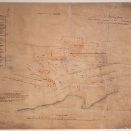
Plan of the Town of Sydney
Read more
Carte très Curieuse de la Mer du Sud - Châtelain
Read more
Topographical map of NSW settlements
Read more
Mar del Zur Hispanis Mare Pacificum
Read more
Maris Pacifici
Read more
Nova Totius Terrarum Orbis Geographica ac Hydrographica Tabula...
Read more
A Voyage to Terra Australis Volume III, Atlas
Read more
Altera Generalis Tab. Secundum Ptol.
Read more
The Track Chart of HMS HYACINTH 1836. Original Chart From An Early Surveying Voyage to Australia.
1
2
Privacy Preference Center
Privacy Preferences