Maps and Charts
The Foundation’s map collection tells the cartographic story of geographers’ representations of Australia as the mythological Great Southern Land, through early contacts by the Dutch and other nations, to the beginnings of British settlement and the country we know today. The collection comprises both printed and manuscript maps of the era.

Die eigentliche und warhafftige gestalt der Erden und des Meers. Cosmographia universalis

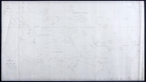
Chart of the south Pacific Ocean, pointing out the discoveries made previous to 1764

Esquisse de la Ville de Sydney, Capitale des colonies anglaises, à la Nouvelle-Hollande
SF000044
Topographical map of NSW settlements
Aaron Arrowsmith – Cartographer
1815
Maps and Charts
SF000045
Chart of New South Wales and Van Diemen’s Land
Jehoshaphat Aspin – Author/Maker
1827
Maps and Charts
SF000047
Chart of the south Pacific Ocean, pointing out the discoveries made previous to 1764
Alexander Dalrymple – Cartographer
1767
Maps and Charts
SF000051
The Track Chart of HMS HYACINTH 1836. Original manuscript chart from an early surveying voyage to Australia.
Francis Price Blackwood – Cartographer
1836
Maps and Charts
SF000055
Esquisse de la Ville de Sydney, Capitale des colonies anglaises, à la Nouvelle-Hollande
Louis Henri de Saulces de Freycinet – Cartographer
1825
Maps and Charts
SF000757
Altera Generalis Tab Secundum Ptol
Sebastian Münster – Cartographer
c1541
Maps and Charts
SF000813
A Voyage to Terra Australis Volume III, Atlas
Matthew Flinders – Cartographer
1814
Maps and Charts
SF000815
Carte Réduite des Terres Australes
Jacques Nicolas Bellin – Cartographer
c1753
Maps and Charts
SF000821
Nova Totius Terrarum Orbis Geographica ac Hydrographica Tabula
Matthaus Merian – Engraver
c1646
Maps and Charts
SF000896
Mar del Zur Hispanis Mare Pacificum
Johannes Janssonius – Cartographer
1650
Maps and Charts
SF001038
Carte Très Curieuse de la Mer du Sud
Henri Abraham Châtelain – Cartographer
1719
Maps and Charts
SF001180
Die eigentliche und warhafftige gestalt der Erden und des Meers. Cosmographia universalis
Heinrich Bünting – Cartographer
1581
Maps and Charts
SF001634
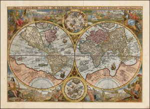
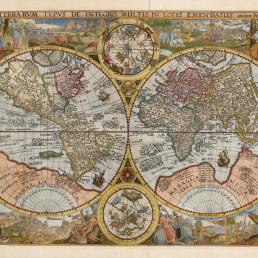
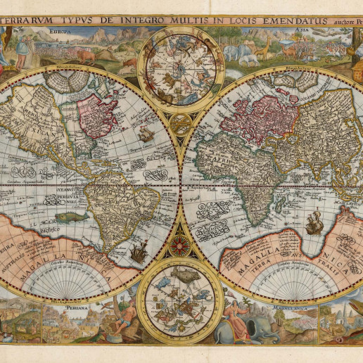
Orbis Terrarum Typus De Integro Multis in Locis Emendatus
Petrus Plancius – Cartographer
1594
Maps and Charts



Explore by category
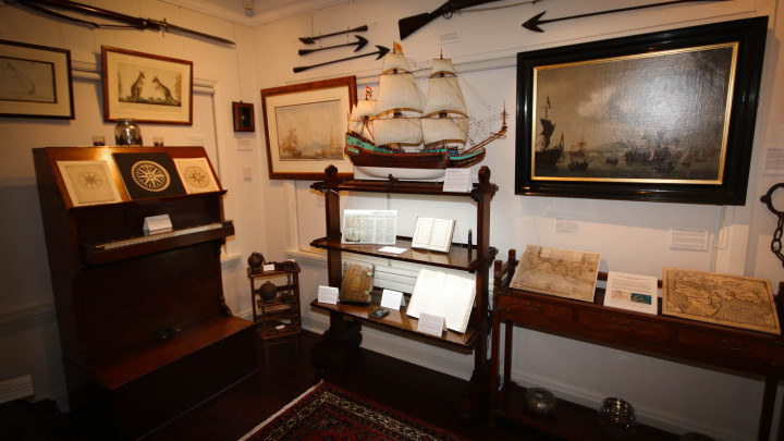
Maps and Charts
Maps and Charts
Date range: 1541-1836
Ship Models

Ship Models
Date range: 1629-1890
Maritime Paintings

Maritime Paintings
Date range: 1793-1849
Manuscripts and Ephemera

Manuscripts and Ephemera
Date range: 1768-c1850
Medallions and Convict Tokens
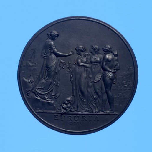
Medallions & Convict Tokens
Date range: 1619-1880
European Portraits

European Portraits
Date range: c1700-c1860
Indigenous History
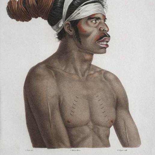
Indigenous History
Date range: c1800-1959
Landscapes

Landscapes
Date range: 1768-c1850
Books
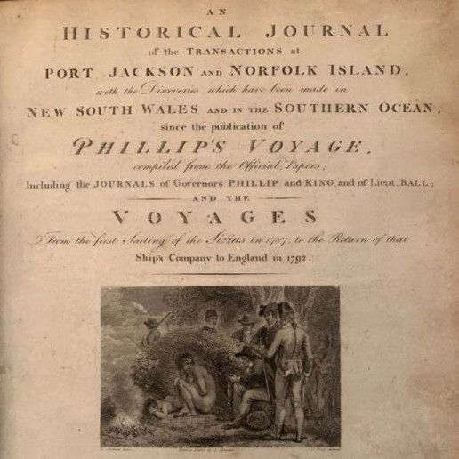
Books
Date range: 1694-c1850
Currency and Shares

Currency and Shares
Date range: 1624-1823
Printed Material

Printed Material
Date range: 1541-1836
Maritime Archaeology

Maritime Archaeology
Date range: 1629-1854
Ceramics

Ceramics and Pottery
Date range: c1779-c1830
Cartoons

Cartoons
Date range: 1794-1851
General Interest
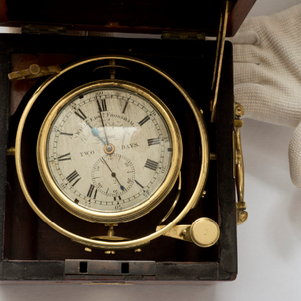
General Interest
Date range: c1580-c1850
Curator’s corner
New acquisitions, staff favourites and curios
Child’s Mug

The mug is decorated with an underglaze and a blue transfer print. On the body, it is titled ‘Emigrants to Australia’. This type of body and glaze was discontinued by 1840. Comparison of the handle shape and the profile of the foot, point to the attribution of manufacture by the Davenport Factory.
Bronze Ship’s Bell

Delta was a ship-rigged vessel with two decks and three masts. It was built in Dordrecht, Netherlands in 1839 at the shipyard of Jan Schouten and registered in the same port. Its hull was constructed of oak and sheathed in ‘yellow metal’. Delta was owned by H. van der Sande at the time of its loss and was engaged as a cargo trader.
The Delta carried 29 crew and passengers, while sailing from Melbourne to Batavia in ballast when wrecked at Kenn Reefs on 30 May 1854 whilst under the command of Captain J.G. Kunst. This vessel loss supports the pattern of shipwrecks located on a well-travelled shipping route that was poorly charted until the mid-nineteenth century. The crew of the Delta could see four other shipwrecks at Kenn Reefs at the time of their vessel’s loss.
Portrait of CATO
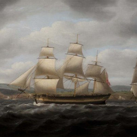
Important image of a ship associated with Matthew Flinders, that would shortly become one of the most famous early shipwrecks in eastern Australian waters. This is a fine ship’s portrait, by one of the great exponents of the art
Explore by category
Maps and Charts
Date range: 1541-1836
Ship Models
Date range: 1629-1890
Maritime Paintings
Date range: 1793-1849
Manuscripts and Ephemera
Date range: 1768-c1850
Medallions & Convict Tokens
Date range: 1619-1880
Landscapes
Date range: 1768-c1850
Books
Date range: 1694-c1850
Currency and Shares
Date range: 1624-1823
Printed Material
Date range: 1541-1836
Maritime Archaeology
Date range: 1629-1854
Curator's corner
New acquisitions, staff favourites and curios
The mug is decorated with an underglaze and a blue transfer print. On the body, it is titled ‘Emigrants to Australia’. This type of body and glaze was discontinued by 1840. Comparison of the handle shape and the profile of the foot, point to the attribution of manufacture by the Davenport Factory.
Delta was a ship-rigged vessel with two decks and three masts. It was built in Dordrecht, Netherlands in 1839 at the shipyard of Jan Schouten and registered in the same port. Its hull was constructed of oak and sheathed in ‘yellow metal’. Delta was owned by H. van der Sande at the time of its loss and was engaged as a cargo trader.
The Delta carried 29 crew and passengers, while sailing from Melbourne to Batavia in ballast when wrecked at Kenn Reefs on 30 May 1854 whilst under the command of Captain J.G. Kunst. This vessel loss supports the pattern of shipwrecks located on a well-travelled shipping route that was poorly charted until the mid-nineteenth century. The crew of the Delta could see four other shipwrecks at Kenn Reefs at the time of their vessel’s loss.
Important image of a ship associated with Matthew Flinders, that would shortly become one of the most famous early shipwrecks in eastern Australian waters. This is a fine ship’s portrait, by one of the great exponents of the art


